

The starting point is the main video. Although relatively short, it contains a lot of information and time to reflect, revisit sections and ask questions can form the basis of a class discussion. The comprehension can further be used to review understanding of some of the key points.
Artefact Activities – Postcards
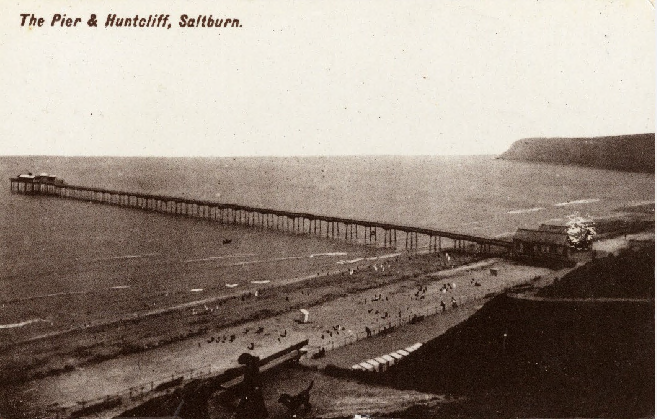
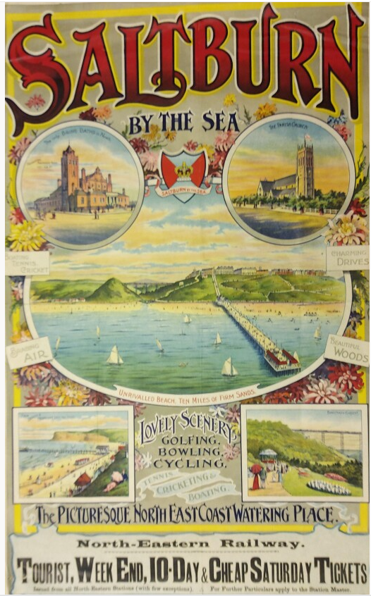
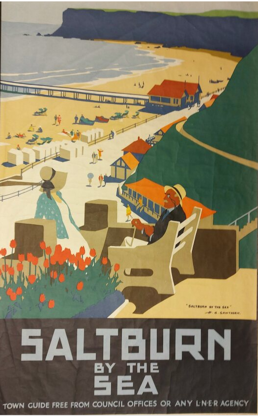
One of the biggest impacts of the railway locally was the extension to Redcar and Saltburn. Although it didn’t happen for over 50 years, it shaped a lot of modern Teesside. Originally designed as a seaside resort, Saltburn still attracts lots of visitors every year. These postcards from early in its history show some of the attraction that were on offer to lure people for a day out. Compare and contrast clues from the pictures with modern Saltburn. There are multiple tourist websites with information.
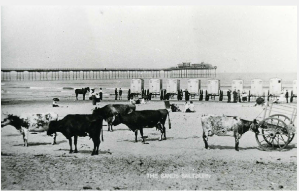
Postcard 1
Postcard 2

Postcard 3
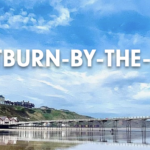
Digital Skills Task – Social media post
If you want people to come for a visit to your town today, you need to use social media. Clips is a fantastic app that allows the children to create funky, social media style videos without having to use real FB or Insta accounts. The focus is on short and to the point. There are some links to websites that may have images for the children to use although this is a great opportunity to talk about copyright when selecting images. Local schools may even visit and take their own. The image below takes you to full guidance on how to use Clips.
If you do not have access to an iPad a simplified option could be to create a poster or flyer.
Saltburn on Wikipedia (copyright usable images and info)
Saltburn website by the local council
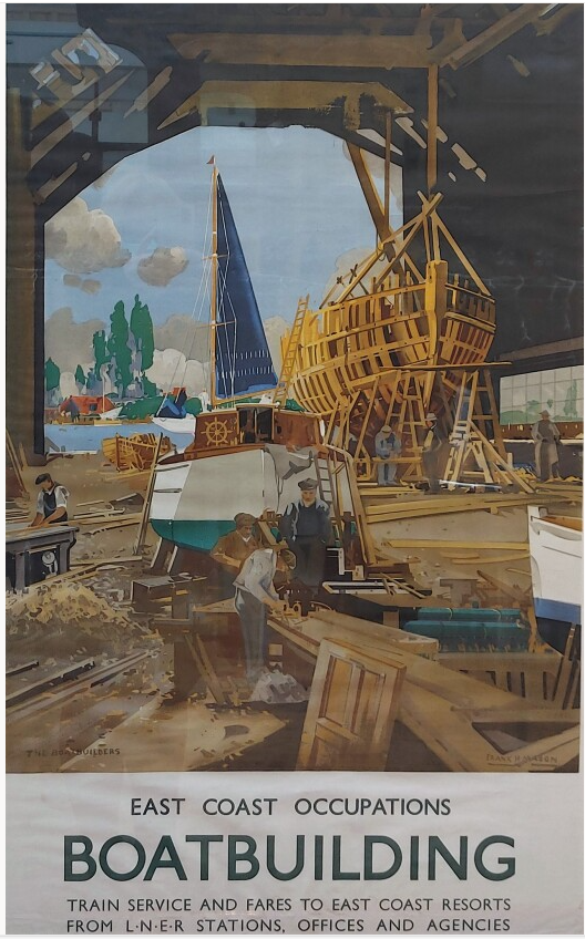
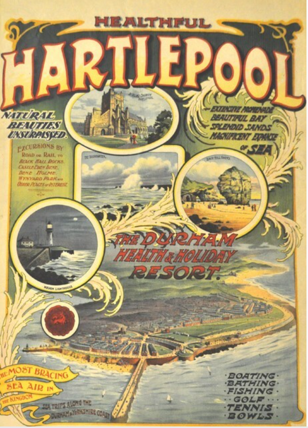
Examples of original posters advertising some of the great activities that could be accessed on the NE coast by train.
Examples of online videos acting as ‘resort posters’
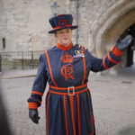
Visit the Tower of London
Visit Shetland

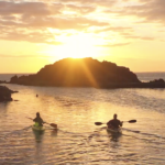
Visit Dorset
Other Curriculum – Geography – where in the world?
Railways revolutionised Britain but their impact on the wider world was even greater. The West coast of America was incredibly difficult to get to until the railroads were connected. The resource below shows major railway lines in the world today. Children can use a map app (or atlas) to identify which countries have lots of railways.
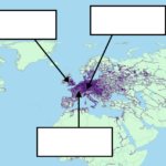
Railway lines (Pages)