INTRO
The river mouth, estuary and Gares
The River Tees flows into the North Sea after meandering its 137km from Cross Fell. By the time it reaches its estuary it is over 2 km wide in places. It is also deep! The deepest port on the east coast of England is on the River Tees not far from the estuary.
The estuary is defined by the North and South Gares. These are man made walls which help to calm the river as boats approach its mouth, stabilising the seabed to allow for dredging and create more solid ground further along the river banks. Before the Gares were built, the whole area was often a mudflat that was covered regularly by the sea. From 1859, waste from the blast furnaces was used to essentially line the river banks to make them more like a canal. These were then extended out into the estuary using concrete blocks for the piers.
At various times the South Gare has had defensive gun batteries located on it, the last being in the second world war. The whole area is covered with old Pill boxes which protected the river during the war.
The South Gare has a lighthouse and fog horn at the end of it although you can no longer walk to the end due to safety reasons.
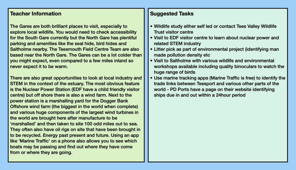
The whole area is designated an area of protection for marine wildlife and the surrounding mudflats have an abundance of wildlife including seals, rare birds and insects. Saltholme is an environmental centre that helps educate local people about the natural environment of the area. Seal Sands nearby has various bird hides to visit and a special ‘Seal Hide’ where you can watch the ever growing population of seals hauled up on the river banks or playing in the lagoons. Recent visitors include whales and dolphins into the river.
Other resources


Fantastic team at the Teesmouth Field Centre who can help plan school visits and activities
History and geography of the South Gare
Great drone views of the area
EDF visitor centre is a great place to learn about energy
RSPB Saltholme is a brilliant place for schools to visit

Free website to see what all the vessels are in and around the river in real time (app version is good too)